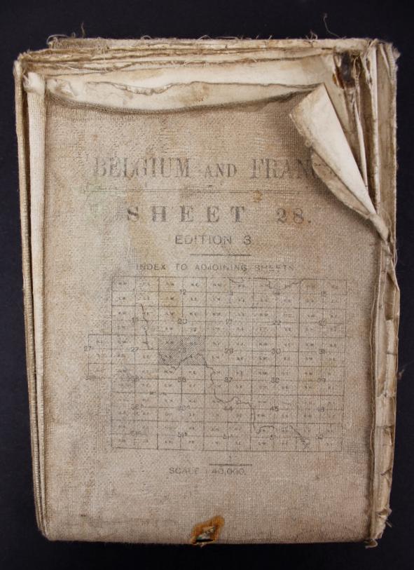
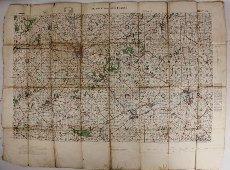
WW1 British February 1917 Map Of Belgium & France
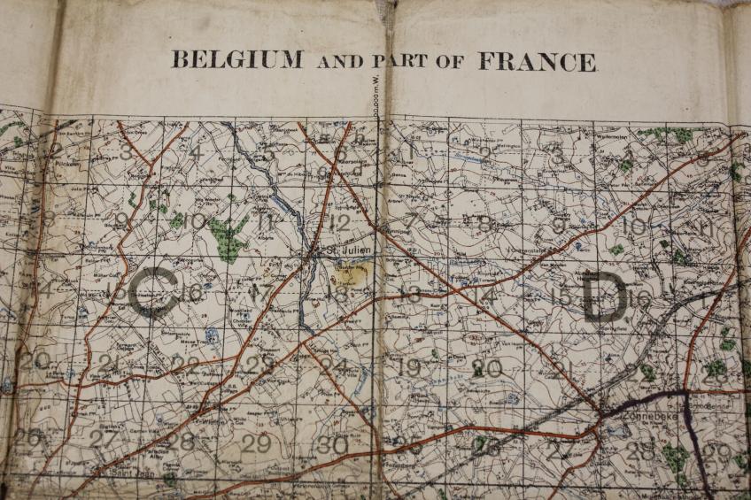
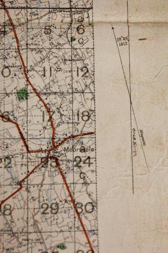
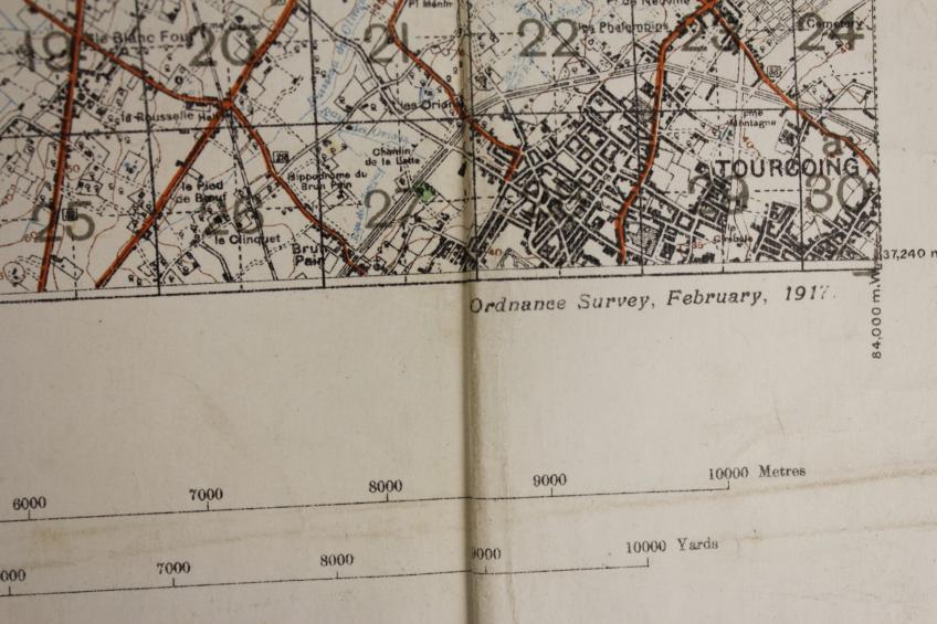
A February 1917 dated British military map of France & Belgium in 1:40,000 scale.
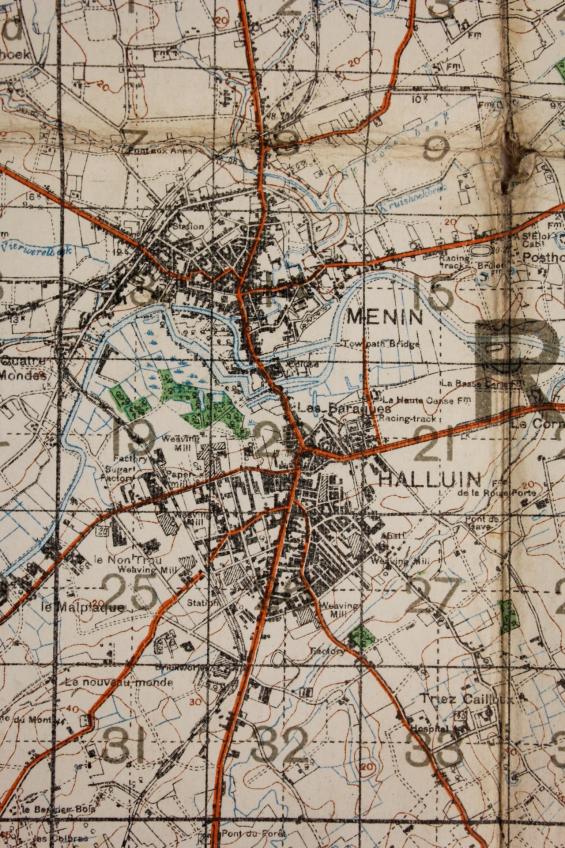
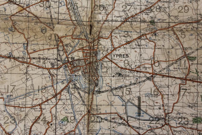
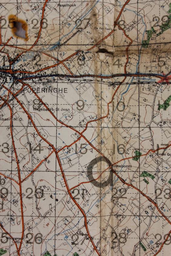
This map feature may famous battle areas such as Menin, Poperinghe, Zonnebeke,Ypres & Boesinghe to name only a few. A small red cross has been marked on a crossroads of the main road from Poperinghe Vlamertinghe.
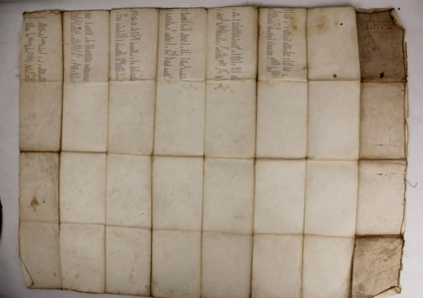
Well used condition & with a small cigarette burn just above Poperinghe the cause of when , where & by whom this was done certainly firing ones imagination !
Code: 9626


